North Vietnam Travel Guide
From Hanoi's thousand-year-old streets to Sapa's golden rice terraces, Ha Giang's limestone mountains, and Ha Long Bay's 1,600 islands — this is the most dramatic region in Southeast Asia.
Why North Vietnam?
North Vietnam is where the country's identity was forged — ancient capital, highland kingdoms, and mountain communities that have farmed terraced hillsides for 400 years. It's also where the landscapes are most spectacular: jagged karst peaks, misty river valleys, and rice terraces that descend 500 metres to the valley floor.
This hub covers 15 major destinations, villages, bays, and route guides in North Vietnam with honest, local-level detail — not the generic copy-paste guides that litter travel sites.
Quick Facts
Plan With Us
15 Best Destinations in North Vietnam
All Vietnam →
Vietnam's capital holds 1,000 years of layered history — Chinese, French colonial, and Soviet architecture compressed into one impossibly atmospheric city. The 36-street Ancient Quarter, Hoan Kiem Lake at dawn, Temple of Literature, egg coffee, bun cha, and the best street food in the country. Almost every North Vietnam trip starts and ends here.
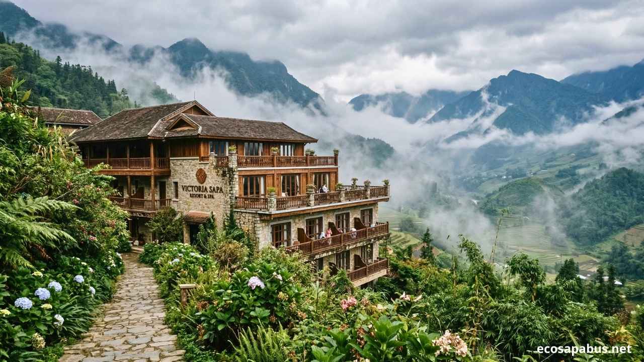
At 1,600m in the Hoang Lien Son mountains — the most dramatic rice terrace landscapes in Southeast Asia. Muong Hoa Valley, Fansipan at 3,143m, H'Mong village homestays.

The 4-day motorbike loop through jagged limestone karst, Dong Van's ancient plateau, and Ma Pi Leng Pass — one of the most dramatic roads in Asia.

Limestone karst peaks rising from flooded rice paddies, row-boat caves at Tam Coc, the ancient capital of Hoa Lu, and Trang An — a UNESCO landscape. 2 hours from Hanoi.

1,600 limestone islands rising from jade-green water. UNESCO World Heritage Site. Overnight cruise, kayaking through caves, floating fishing villages. 3.5 hours from Hanoi.

A lush valley of rice paddies and White Thai stilt-house villages, 3.5 hours from Hanoi. Far fewer crowds than Sapa, excellent cycling, and some of the warmest homestay hospitality in Vietnam.

Ban Gioc — Southeast Asia's largest waterfall — sits on the Chinese border here. Combine it with Nguom Ngao cave, the UNESCO Dong Van Global Geopark, and zero tourist crowds.

Sapa-quality rice terraces with a fraction of the visitors. A nature reserve with bamboo forests, watermills, and Muong minority villages connected by trails. 3.5 hours from Hanoi.

A cool highland plateau at 1,050m covered in tea plantations, plum blossoms in February, and wildflower fields. 3 hours from Hanoi — ideal for a long weekend escape from the city heat.

A classic Sapa trekking stop in Muong Hoa Valley, known for rice terraces, Black H'Mong culture, and scenic walking routes from Sapa town.

A quieter village route near Sapa with farmland, mountain paths, and local homes — useful for travelers who want a softer trek away from the busiest trails.

A quieter bay near Cat Ba with limestone islands, kayaking routes, and overnight cruises — often chosen as a less crowded alternative to Ha Long Bay.

The famous row-boat route through rice paddies and limestone caves in Ninh Binh — best combined with Bich Dong Pagoda or Hang Mua viewpoint.

One of the closest village visits from Sapa town, known for H'Mong culture, small waterfalls, souvenir stalls, and short downhill walking routes.

A calm national park destination with lake boat trips, limestone scenery, caves, waterfalls, and Tay ethnic homestays in northern Vietnam.
Best Time to Visit North Vietnam
North Vietnam has four genuine seasons — unlike the south. The highlands (Sapa, Ha Giang) run 8–10°C cooler than Hanoi at all times. Plan around these windows for the best conditions at each destination.
⭐ Highlighted = best months · Hanoi temperatures shown · Sapa & highland areas run 8–12°C cooler
North Vietnam Itineraries
How long do you have? Pick the tab that matches your trip length.
Getting Around North Vietnam
The biggest transport decisions in North Vietnam — and the ones that most affect your experience — are the routes out of Hanoi to the highlands.
Essential Travel Tips for North Vietnam
💰 Money & Budget
- ATMs available in all towns including Sapa & Ninh Binh
- Carry cash in remote areas — card machines unreliable outside cities
- Budget: $25–40/day (mid-range); $60–120/day (comfort)
- $1 USD ≈ 25,000 VND — always check before haggling
- Tipping not mandatory but appreciated: 20,000–50,000 VND/guide day
🏥 Health & Safety
- Drink only bottled or boiled water — everywhere
- Travel insurance with medical evacuation strongly recommended
- Nearest hospitals: Hanoi (Bach Mai, Viet Duc), Lao Cai for Sapa area
- Altitude sickness possible at Sapa (1,600m) — rest on arrival day
- Mosquito repellent essential for evening village walks
📱 Connectivity & SIM
- Buy Viettel or Mobifone SIM at Noi Bai Airport: ~100,000 VND with 20GB data
- 4G works in Hanoi, Sapa town, and most tourist areas
- Signal drops in remote Ha Giang villages and valley areas
- Grab app (ride-hailing) works in Hanoi and cities — far safer than street taxis
- Google Maps works but offline download is recommended for highland areas